
| 1 of 78 | Haleakala Crater at Sunrise |
|
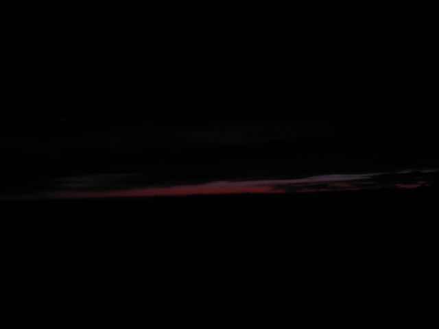 |
| Here we are up at 3:45 AM on December 27, 2010 to catch a bus to the top of 10,300 foot Halwakala Crater for a view of the sunrise. In Albuquerque, NM we live on a mountain which is 10,600 feet but the valley floor in Albuquerque is at 5,000 where at in Hawaii the valley floor is at sea level. The road to the top is well traveled, modern and quite curvy road and leads all the way to the top of this spectacular mountain. The road is open to the public (although parts of it are restricted) and is a well-maintained two-lane highway, however it contains many blind turns and areas where the outer lane is quite close to very steep drop-offs. Local animals, including cattle, are often encountered in the roadway. Tour buses visit the summit regularly. Cycling and horseback riding are other popular ways to explore the park. There is a unique tour via bike which we did not participate in. These tours pick people up at their hotels/ships and take them to the top of Haleakala and outfit them with a mountain bike to glide down the entire 27 miles. According to our tour guide they no longer start at the top of the mountain as the road is narrow and a number of people where killed over the last few years therefore the bike tours start part way down the crater. Haleakala or the East Maui Volcano, is a massive shield volcano that forms more than 75% of the Hawaiian Island of Maui. Early Hawaiians applied the name Haleakala ("house of the sun") to the general mountain. In Hawaiian folklore, the depression at the summit of Haleakala was home to the grandmother of the demigod Maui. According to the legend, Maui's grandmother helped him capture the sun and force it to slow its journey across the sky in order to lengthen the day. The tallest peak of Haleakala, at 10,023 feet, is Pu?u ?Ula?ula (Red Hill). From the summit we could looked down into a massive depression some 7 miles across, 2 miles wide, and nearly 2,600 feet deep. The surrounding walls are steep and the interior mostly barren-looking with a scattering of volcanic cones. The potentially active volcano has produced numerous eruptions in the last 30,000 years, including in the last 500 years. This volcanic activity has been along two rift zones, the southwest and east. These two rift zones together form an arc that extends from La Perouse Bay on the southwest, through the Haleakala Crater and to Hana, to the east. The east rift zone continues under the ocean beyond the east coast of Maui as Haleakala Ridge, making the combined rift zones one of the longest in the Hawaiian Islands chain. Until recently, East Maui Volcano was thought to have last erupted around 1790, based largely on comparisons of maps made during the voyages of La Perouse and George Vancouver. Recent advanced dating tests, however, have shown that the last eruption was more likely to have been in the 17th century. These last flows from the southwest rift zone of Haleakala make up the large lava deposits of the Ahihi Kina`u/La Perouse Bay area of South Maui. |
| December 27, 2010 |